EXPEDITION JOURNAL HERE
The Gorringe is the tallest mountain in Western Europe, found underwater in the Atlantic Ocean. Located 220 km off the Portuguese coast, around 200 km long and 80 km wide. It is named after Captain Henry Honychurch Gorringe, who mapped it in 1875.

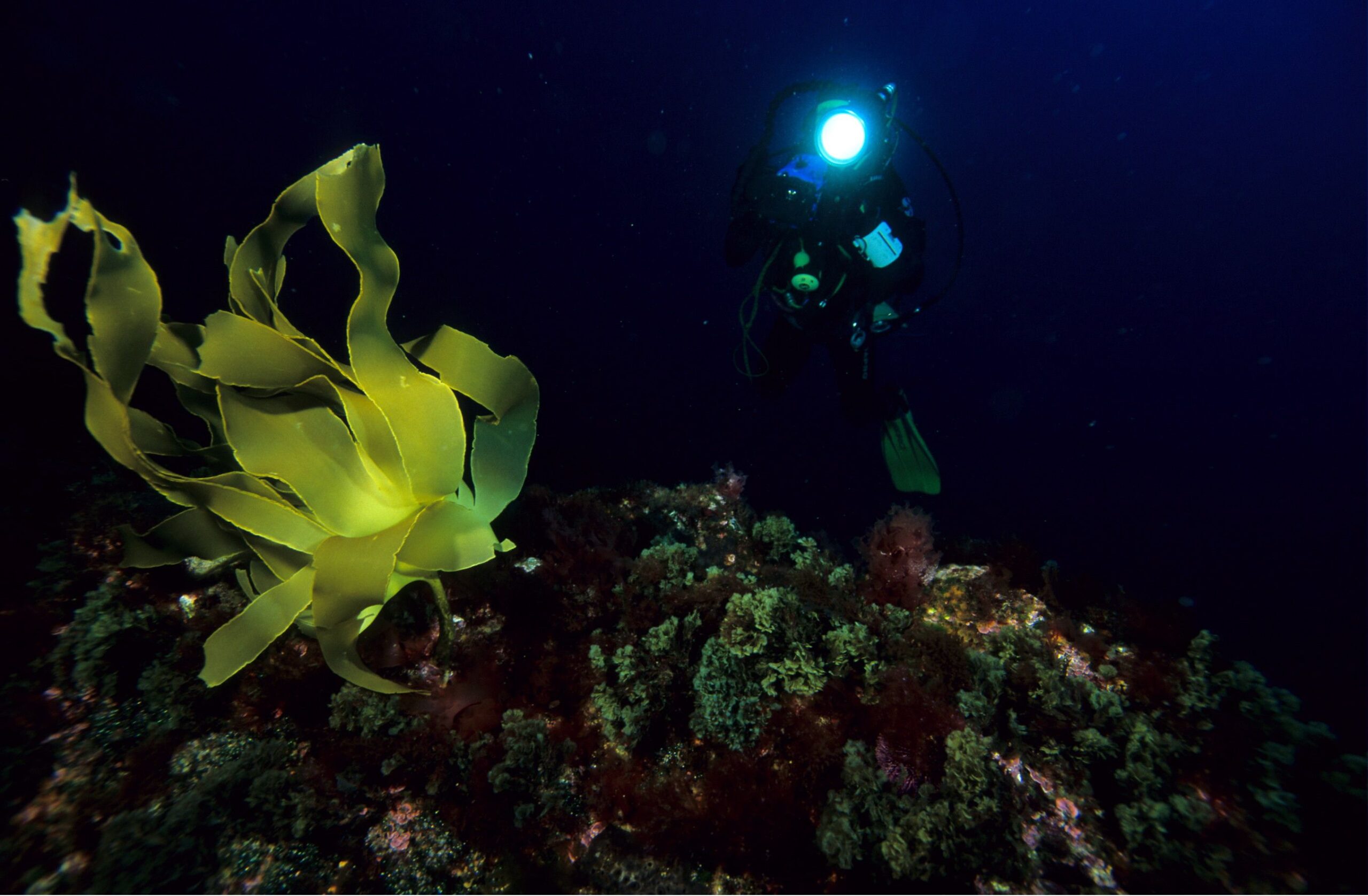
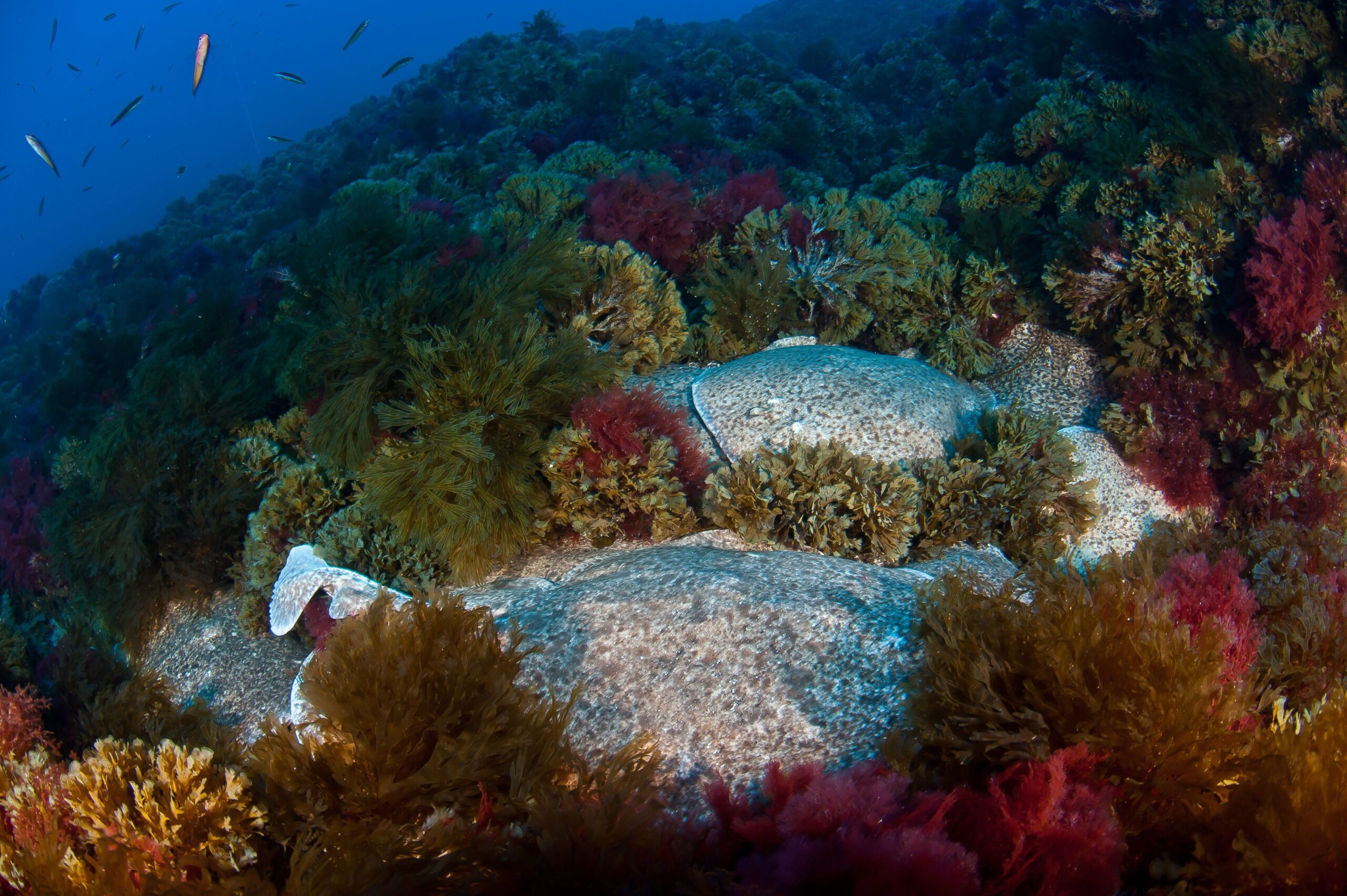
Geologically, the Gorringe seamount was formed during the opening of the Atlantic Ocean, as a result of the convergence between the African and Eurasian tectonic plates. It comprises two main peaks: Mount Gettysburg and Mount Ormonde. This marine area is a biodiversity hotspot, featuring a range of habitats from shallow algal forests to deep waters with cold-water corals.
Recognised for its ecological significance, Gorringe has been designated as an Ecologically or Biologically Significant Marine Area (EBSA) and is the first ecosystem being part of the Natura 2000 Network.
Oceano Azul Foundation, Oceanário de Lisboa, ICNF – Instituto da Conservação da Natureza e das Florestas, and the Portuguese Navy are working together to consolidate existing scientific knowledge about the Gorringe seamount to support its protection.
Oceano Azul mission? To perform a scientific assessment and provide crucial recommendations for establishing a Marine Protected Area (MPA) here, supporting the global 30×30 target – aiming to protect 30% of the world’s ocean by 2030.
AN EXPEDITION TO PROTECT OUR OCEAN
The Oceano Azul Gorringe Expedition is a groundbreaking scientific mission to explore and understand one of Europe’s hidden giants: the Gorringe Seamount. The primary goal is to assess the marine life and habitats in this unique area, contributing with valuable knowledge to help protect our ocean.
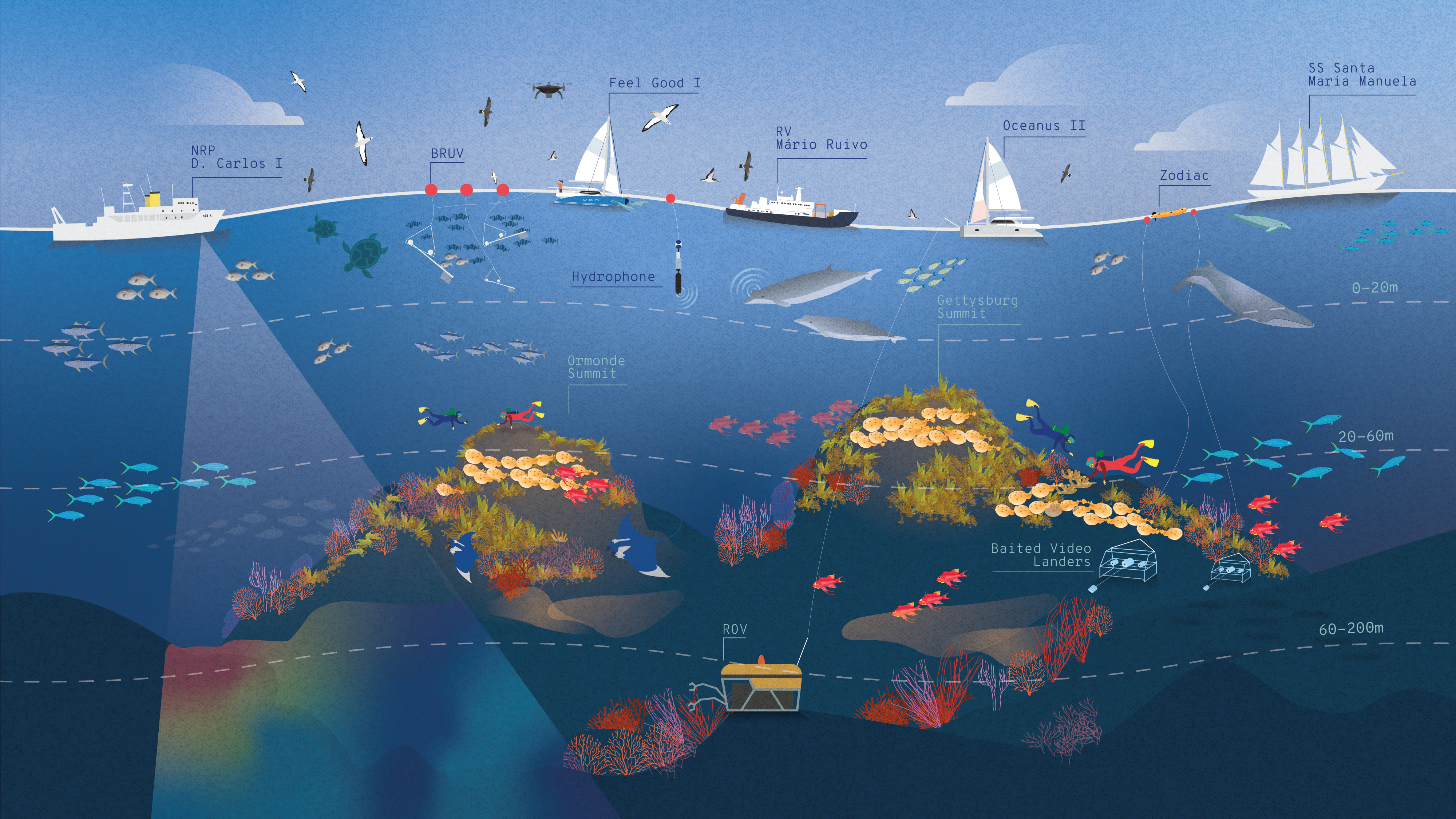
The study area consists of the two peaks Gettysburg and Ormonde, the area between these, the steep slopes that reach great depths, and the larger pelagic environment around the seamount.
Why Gorringe?
Gorringe acts as a magnet of marine life and hotspot of biodiversity.
Oceanic Oasis: it supports a bustling marine ecosystem, teeming with life.
Stepping Stone: a crucial stopover for migratory species, offering refuge and sustenance.
Unique Species: home to marine life typically found only in coastal areas.
Gorringe’s rich biodiversity sets it apart as a unique and vital ecosystem. Marine megafauna, the ocean’s great travelers, link various regions and systems, playing a key role in offshore ecosystems.
Additionally, seabirds, important indicator species, connect different levels of the marine food chain, underscoring the importance of preserving this underwater oasis.

Scientific Components
The surveys to assess the species and habitats during the expedition can be grouped into three categories:
SEA-LEVEL TO 30m – Open water assessments: the team will assess the open water species, particularly the megafauna attracted to this oceanic oasis. They will use a variety of methods, including visual surveys of seabirds and marine mammals, pelagic cameras, plankton surveys, diving assessments, and bioacoustics.
30m to 200m – Shallow benthic communities: explore the biodiversity of the shallow zones around the seamount’s peaks. Divers will survey the shallow areas up to 200 meters deep, while remotely operated vehicles (ROVs) will venture further down to map and assess the seafloor habitats.
Join us in exploring and protecting this hidden marvel!
xxxx

xxxx
xxxx
PARTNERSHIPS


